KoreaClear.

KoreaClear · Seoul · Seoul Trail

Seoul Trail: all 21 routes

The Seoul Trail circles Seoul in 21 routes, 156.5 km in total. The official guide gives the nearest subway exit for each route. You may need to walk extra between the station and where the route actually starts or ends (Routes 18 and 19 include a bus ride). Choose by difficulty and nearest station.

 Walks near me →

Easy · 7

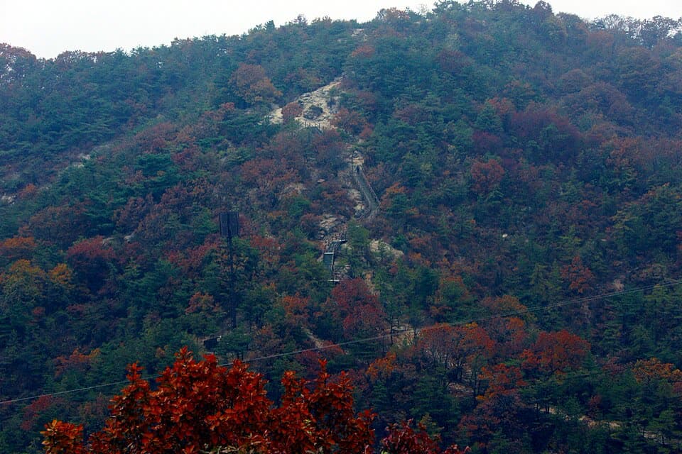
The trail up Yongmasan in autumn colours
Kellnerp · 2013 · CC BY-SA 3.0
Route 4

Mangusan & Yongmasan Mountains

Easy
Distance
7.7 km
Walking time
About 3 hr

Nearest station (start): Hwarangdae Station (Line 6) Exit 5
Nearest station (end): Sagajeong Station (Line 7) Exit 4
See route →
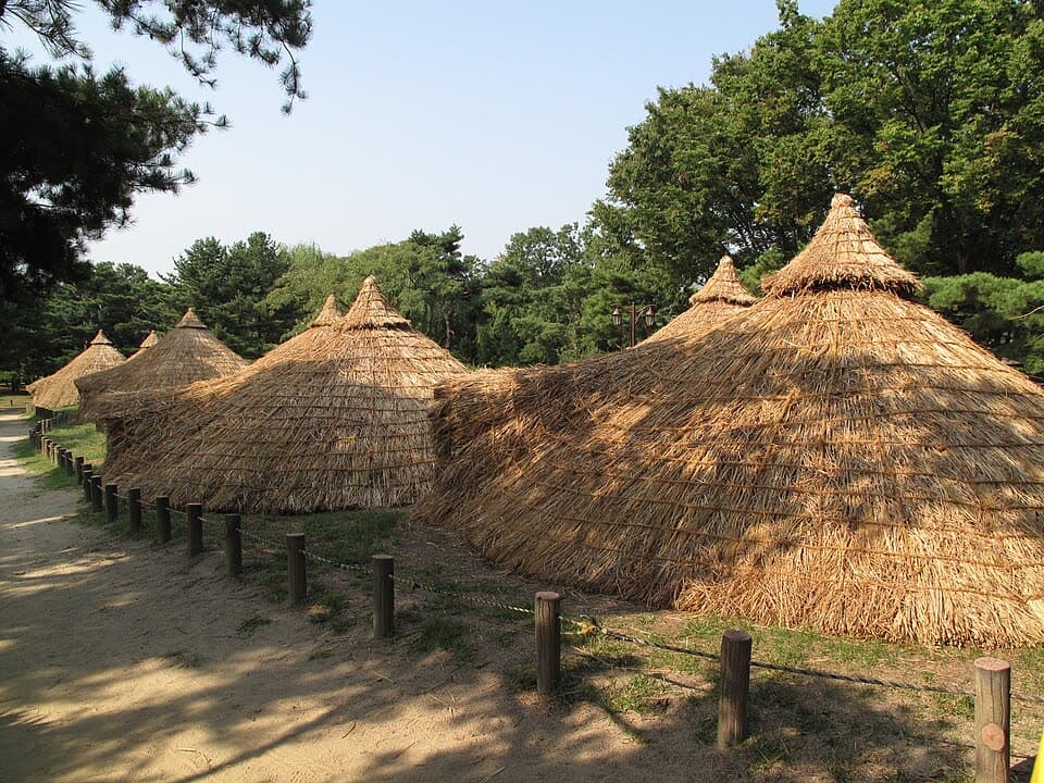
Reconstructed pit houses at the Amsa-dong prehistoric site
G41rn8 · 2016 · CC BY-SA 4.0
Route 6

Godeoksan Mountain

Easy
Distance
9.3 km
Walking time
About 3 hr

Nearest station (start): Gwangnaru Station (Line 5) Exit 2
Nearest station (end): Godeok Station (Line 5) Exit 4

See route →
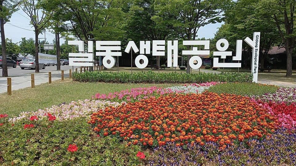
Flower beds at the entrance to Gildong Ecological Park
JKD · 2022 · CC BY 2.0 KR
Route 7

Iljasan Mountain

Easy
Distance
7.7 km
Walking time
About 3 hr 15 min

Nearest station (start): Godeok Station (Line 5) Exit 4
Nearest station (end): Olympic Park Station (Line 5 & Line 9) Exit 1

See route →
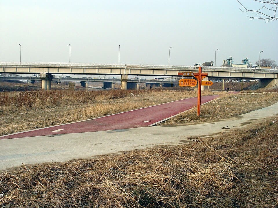
The Tancheon Stream path entering Seoul from Seongnam
Jpbarrass · uploaded 2007 · Public domain
Route 8

Jangjicheon & Tancheon Streams

Easy
Distance
8.6 km
Walking time
About 2 hr 35 min

Nearest station (start): Olympic Park Station (Line 5 & Line 9) Exit 1
Nearest station (end): Suseo Station (Line 3 & Suin-Bundang Line) Exit 5

See route →
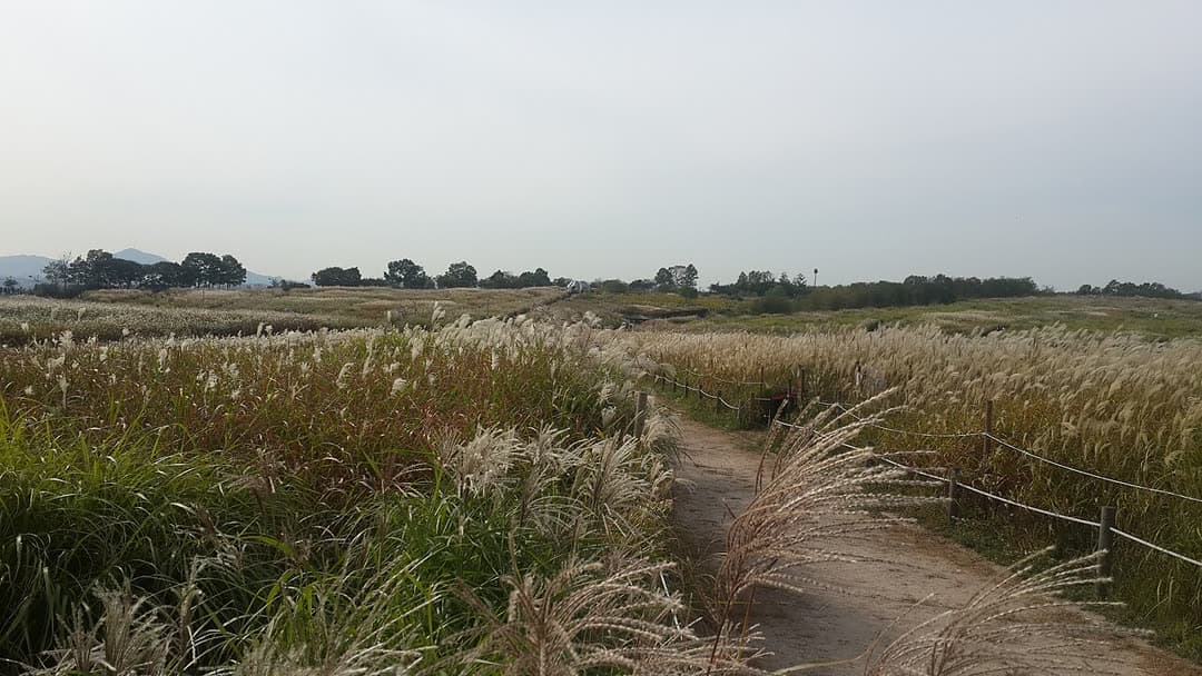
A dirt path through silver grass in Haneul Park
Ji-soo Seo · 2015 · CC BY-SA 4.0
Route 15

Noeul & Haneul Parks

Easy
Distance
7.7 km
Walking time
About 2 hr 10 min

Nearest station (start): Gayang Station (Line 9) Exit 3
Nearest station (end): Jeungsan Station (Line 6) Exit 2

See route →

Medium · 10

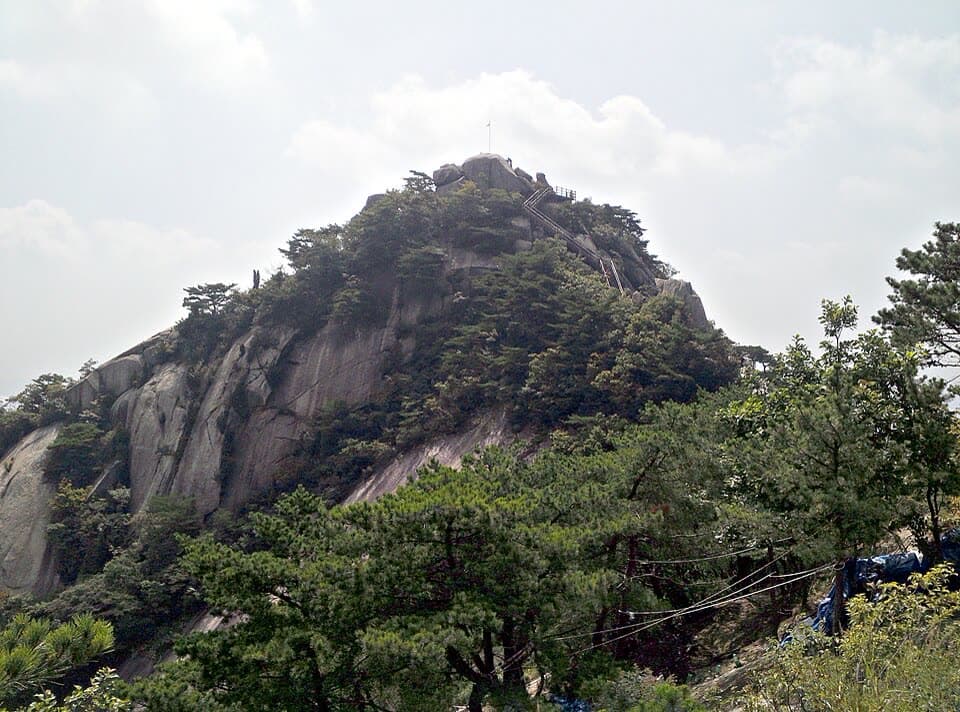
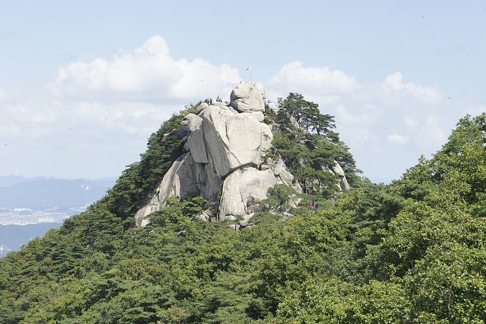
The rocky summit of Buramsan
Kellnerp · 2014 · CC BY-SA 4.0
Route 3

Buramsan Mountain

Medium
Distance
6.9 km
Walking time
About 2 hr 30 min

Nearest station (start): Buramsan Station (Line 4) Exit 1
Nearest station (end): Hwarangdae Station (Line 6) Exit 4

See route →
The Achasan ridge
Straitgate · 2011 · CC BY-SA 3.0
Route 5

Achasan Mountain

Medium
Distance
4.6 km
Walking time
About 2 hr 10 min

Nearest station (start): Sagajeong Station (Line 7) Exit 4
Nearest station (end): Gwangnaru Station (Line 5) Exit 1

See route →

Photo coming soon

Route 10

Umyeonsan Mountain

Medium
Distance
7.6 km
Walking time
About 3 hr 20 min

Nearest station (start): Yangjae Citizen’s Forest Station (Shinbundang Line) Exit 5
Nearest station (end): Sadang Station (Line 2 & Line 4) Exit 3

See route →
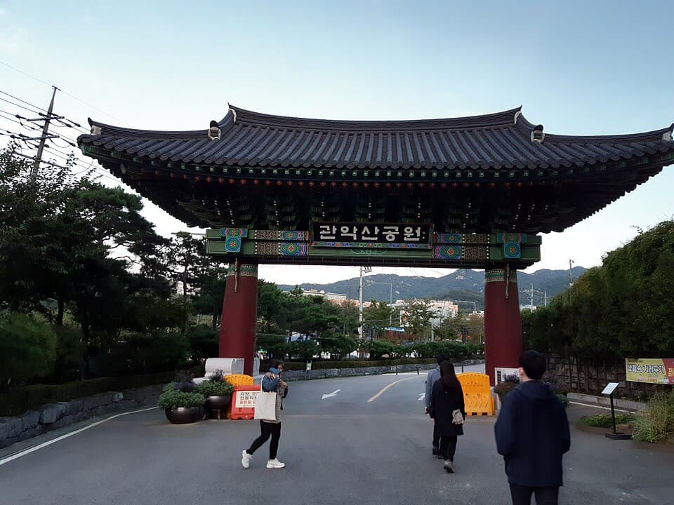
The gate at the Gwanaksan Park entrance
Kth696586 · 2020 · CC BY-SA 4.0
Route 11

Gwanaksan Mountain

Medium
Distance
5.7 km
Walking time
About 2 hr 30 min

Nearest station (start): Sadang Station (Line 2 & Line 4) Exit 4
Nearest station (end): Gwanaksan Station (Sillim Line) Exit 1

See route →
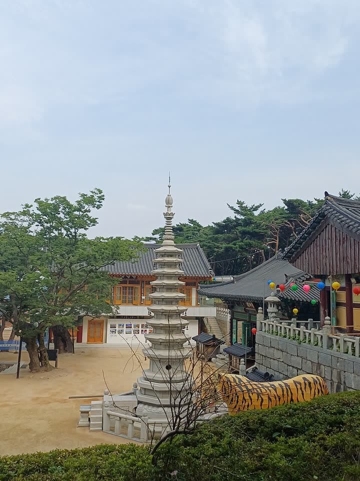
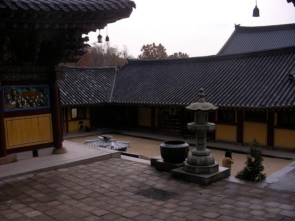
Hoapsa Temple
Kth696586 · 2018 · CC BY-SA 3.0
Route 12

Hoamsan Mountain

Medium
Distance
7.3 km
Walking time
About 3 hr 30 min

Nearest station (start): Gwanaksan Station (Sillim Line) Exit 1
Nearest station (end): Seoksu Station (Line 1) Exit 1

See route →

Photo coming soon

Route 17

Bukhansan Mountain (Eunpyeong)

Medium
Distance
5.9 km
Walking time
About 2 hr 45 min

Nearest station (start): Gupabal Station (Line 3) Exit 2
Nearest station (end): Bulgwang Station (Line 3 & Line 6) Exit 2

See route →
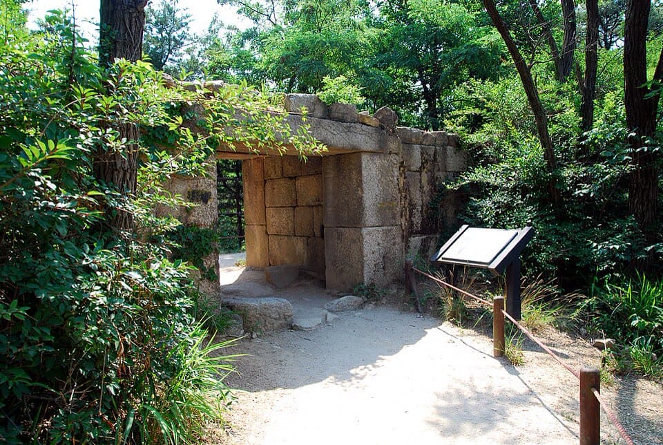
The hidden gate of Tangchundaeseong Fortress in the woods
Black207 · 2017 · CC BY-SA 4.0
Route 18

Bukhansan Mountain (Jongno)

Medium
Distance
7.4 km
Walking time
About 4 hr

Nearest station (start): Bulgwang Station (Line 3 & Line 6) Exit 2
Nearest station (end): bus transfer → Gireum Station (Line 4)

See route →
Hwagyesa Temple
Martin Röll · 2007 · CC BY-SA 2.0
Route 19

Bukhansan Mountain (Seongbuk)

Medium
Distance
6 km
Walking time
About 2 hr 50 min

Nearest station (start): Gireum Station (Line 4) Exit 3 → bus transfer
Nearest station (end): Hwagye Station (Ui-Sinseol Line) Exit 1

See route →
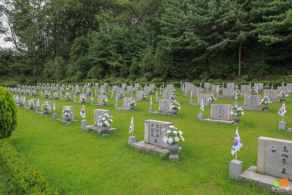
April 19th National Cemetery
Gruturgi · 2020 · CC BY-SA 2.0 KR
Route 20

Bukhansan Mountain (Gangbuk)

Medium
Distance
7.1 km
Walking time
About 3 hr 30 min

Nearest station (start): Hwagye Station (Ui-Sinseol Line) Exit 1
Nearest station (end): Bukhansan Ui Station (Ui-Sinseol Line) Exit 1·2

See route →
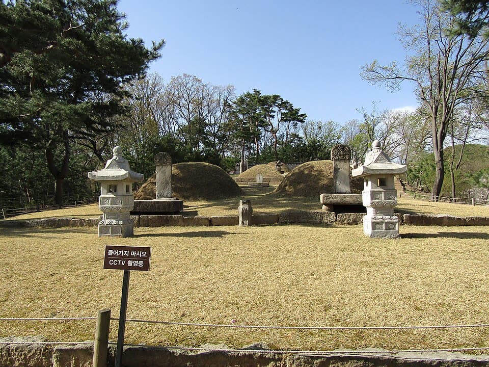
The tomb of Prince Yeonsan
Tombus20032000 · 2018 · CC BY-SA 4.0
Route 21

Bukhansan Mountain (Dobong)

Medium
Distance
7.3 km
Walking time
About 3 hr 25 min

Nearest station (start): Bukhansan Ui Station (Ui-Sinseol Line) Exit 1·2
Nearest station (end): Dobongsan Station (Line 1 & Line 7) Exit 1

See route →

Hard · 4

The rocky summit of Suraksan
Kellnerp · 2014 · CC BY-SA 4.0
Route 1

Suraksan Mountain

Hard
Distance
6.3 km
Walking time
About 2 hr 50 min

Nearest station (start): Dobongsan Station (Line 1 & Line 7) Exit 2
Nearest station (end): Buramsan Station (Line 4) Exit 3

See route →

Photo coming soon

Route 2

Deongneung-gogae Pass

Hard
Distance
5.4 km
Walking time
About 2 hr 50 min

Nearest station (start): Buramsan Station (Line 4) Exit 3
Nearest station (end): Buramsan Station (Line 4) Exit 1

See route →
Forest on Daemosan
Sadopaul · 2026 · CC BY-SA 4.0
Route 9

Daemosan & Guryongsan Mountains

Hard
Distance
10.7 km
Walking time
About 4 hr 50 min

Nearest station (start): Suseo Station (Line 3 & Suin-Bundang Line) Exit 6
Nearest station (end): Yangjae Citizen’s Forest Station (Shinbundang Line) Exit 5

See route →

Photo coming soon

Route 16

Bongsan & Aengbongsan Mountains

Hard
Distance
9.1 km
Walking time
About 4 hr 15 min

Nearest station (start): Jeungsan Station (Line 6) Exit 3
Nearest station (end): Gupabal Station (Line 3) Exit 3

See route →