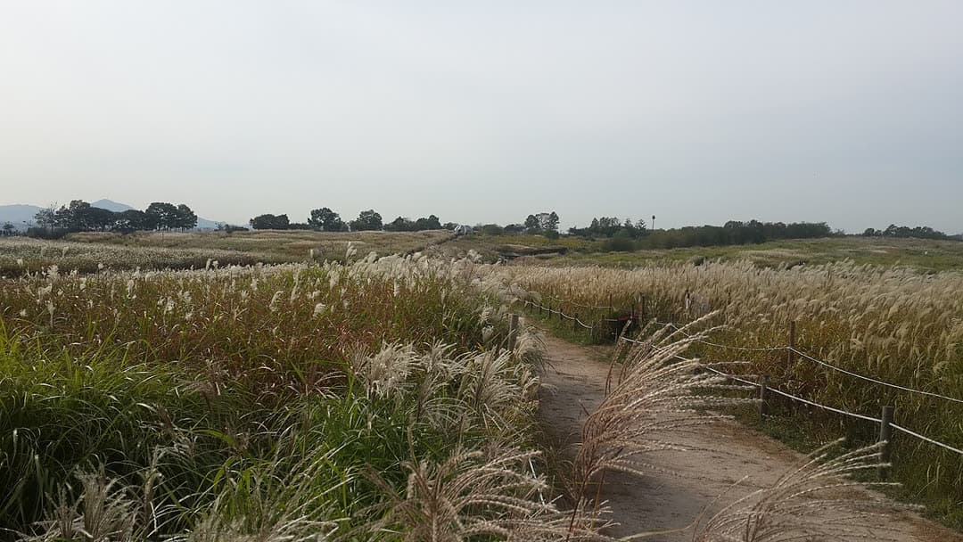
1. Noeul & Haneul Parks route
From Gayangdaegyo Bridge Southern End to Jeungsan Station: 7.7 km past 9 stops.
- Walking time
- About 2 hr 10 min
- Distance
- 7.7 km
- Area
- Mapo-gu · Eunpyeong-gu
Official Seoul Trail information · from the start of the route to its end
Route order
On smaller screens, scroll sideways
- 1Gayangdaegyo Bridge Southern End
가양대교 남단
Start - 2Gayangdaegyo Bridge
가양대교
- 3Hangang Wetland Eco Park
한강생태습지공원
- 4Noeul Park
노을공원
- 5Haneul Park
하늘공원
- 6Oil Tank Culture Park
문화비축기지
- 7World Cup Stadium Station
월드컵경기장역
- 8Bulgwangcheon Stream
불광천
- 9Jeungsan Station
증산역
Finish
Getting to the start
The official starting point is Gayang Station (Line 9) Exit 3. Use the map on the official route page to find the way from the exit to the trail.
NAVER Map ↗Getting back
The route ends at Jeungsan Station (Line 6) Exit 2 (official information). Route 16 (Bongsan & Aengbongsan Mountains) continues from this station.
Good to know
- Stamp boxes: the south end of Gayangdaegyo Bridge and Jeungsan Sports Park. They are outdoors and the ink can dry out, so bring your own ink pad (official advice).
- Noeul and Haneul Parks were built on the Nanjido landfill, where waste was buried for 15 years from 1978. Wildlife such as water deer, leopard cats and raccoon dogs live in Noeul Park.
- The south path of Haneul Park has a metasequoia-lined trail of about 1 km, planted in 1999.
- The Oil Tank Culture Park was an oil storage depot built in the 1970s. It closed in 2000 and its tanks were turned into a cultural park.
- To finish early, you can take the subway at stop 7, World Cup Stadium Station (Line 6).