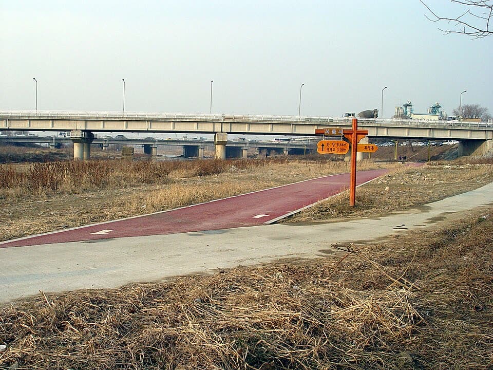
1. Jangjicheon & Tancheon Streams route
From Ogeumgyo Bridge 1 to Suseo Station: 8.6 km past 7 stops.
- Walking time
- About 2 hr 35 min
- Distance
- 8.6 km
- Area
- Songpa-gu · Gangnam-gu
Official Seoul Trail information · from the start of the route to its end
Route order
On smaller screens, scroll sideways
- 1Ogeumgyo Bridge 1
오금1교
Start - 2Seongnaecheon Stream
성내천
- 3Jangjicheon Stream
장지천
- 4Jangji Neighborhood Park
장지근린공원
- 5Jangjicheon Stream
장지천
- 6Tancheon Stream
탄천
- 7Suseo Station
수서역
Finish
Getting to the start
The official starting point is Olympic Park Station (Line 5 & Line 9) Exit 1. Use the map on the official route page to find the way from the exit to the trail.
NAVER Map ↗Getting back
The route ends at Suseo Station (Line 3 & Suin-Bundang Line) Exit 5 (official information). Route 9 (Daemosan & Guryongsan Mountains) continues from this station.
Good to know
- Stamp boxes: the Bangi-dong conservation area and Gwangmyeonggyo Bridge (name on the Korean route page). They are outdoors and the ink can dry out, so bring your own ink pad (official advice).
- The Seongnaecheon had run dry; water from the Hangang River and groundwater now flows in it again as a restored stream.
- The Jangjicheon is known for its cherry blossoms in spring. The Tancheon is a 35.6 km stream that rises in Yongin, Gyeonggi-do, and flows into the Hangang River.