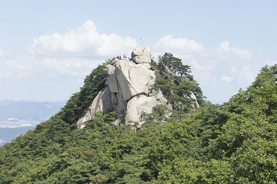
1. Suraksan Mountain route
From Dobongsan Station to Danggogae Park Fork: 6.3 km past 7 stops.
- Walking time
- About 2 hr 50 min
- Distance
- 6.3 km
- Area
- Nowon-gu · Dobong-gu
Official Seoul Trail information · from the start of the route to its end
Route order
On smaller screens, scroll sideways
- 1Dobongsan Station
도봉산역
Start - 2Seoul Iris Garden
서울창포원
- 3Sangdogyo Bridge
상도교
- 4Surakgol Valley
수락골
- 5Nowongol Valley
노원골
- 6Quarry Observatory
채석장 전망대
- 7Danggogae Park Fork
당고개공원 갈림길
Finish
Getting to the start
The official starting point is Dobongsan Station (Line 1 & Line 7) Exit 2. Use the map on the official route page to find the way from the exit to the trail.
NAVER Map ↗Getting back
The route ends at Danggogae Park Fork. The official finishing station is Buramsan Station (Line 4) Exit 3. Route 2 (Deongneung-gogae Pass) continues from this station.
Good to know
- Stamp boxes: the Seoul Iris Garden and the Danggogae Park fork. They are outdoors and the ink can dry out, so bring your own ink pad (official advice).
- As a hard route it includes mountain paths. Wear shoes with good grip and carry water (KoreaClear advice).
- Suraksan means “mountain of falling water”, after the water that tumbles down its great granite faces.
- From the Quarry Observatory you can see Buramsan, Yongmasan, Achasan, Gwanaksan, Namsan and Bukhansan, with central Seoul in between (official information).
- Near the start, a Seoul Trail Information Center on the ground floor of the Seoul Iris Garden building gives directions and issues completion certificates (official information).