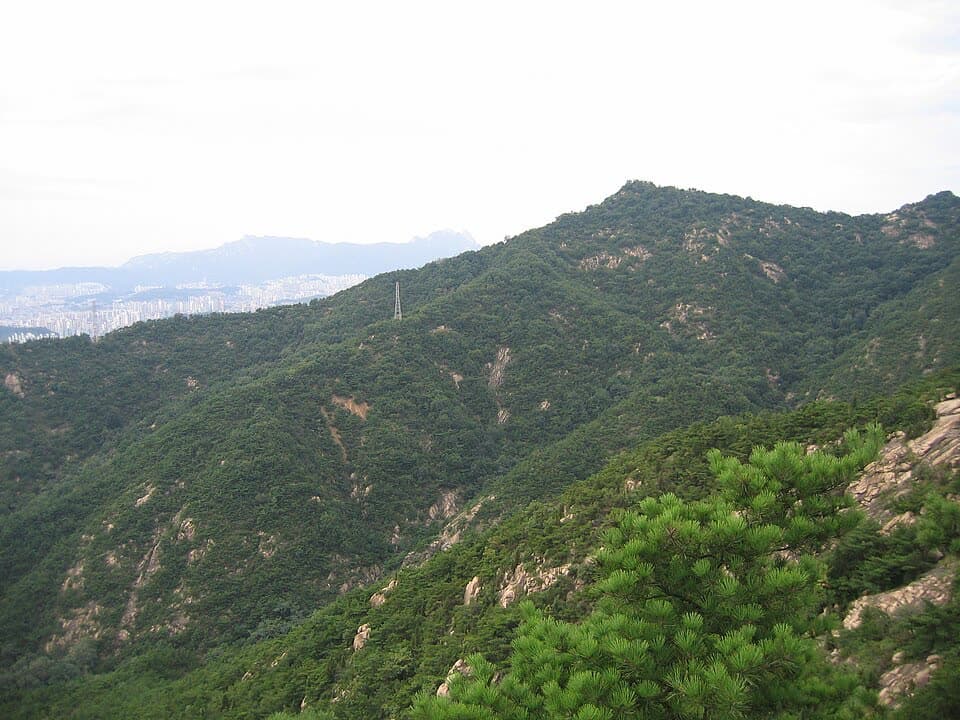
1. Achasan Mountain route
From Kkalttakgogae Pass Rest Area to Gwangnaru Station: 4.6 km past 8 stops.
- Walking time
- About 2 hr 10 min
- Distance
- 4.6 km
- Area
- Gwangjin-gu
Official Seoul Trail information · from the start of the route to its end
Route order
On smaller screens, scroll sideways
- 1Kkalttakgogae Pass Rest Area
깔딱고개 쉼터
Start - 2Yongmasan Mountain Fort No. 5
용마산 5보루
- 3Heliport
헬기장
- 4Achasan Mountain
아차산
- 5Achasan Sunrise Park
아차산 해맞이공원
- 6Achasan Mountain Information Center
아차산 관리사무소
- 7Achasan Ecological Park
아차산 생태공원
- 8Gwangnaru Station
광나루역
Finish
Getting to the start
The official starting point is Sagajeong Station (Line 7) Exit 4. Use the map on the official route page to find the way from the exit to the trail.
NAVER Map ↗Getting back
The route ends at Gwangnaru Station (Line 5) Exit 1 (official information). Route 6 (Godeoksan Mountain) continues from this station.
Good to know
- Stamp boxes: the Kkalttakgogae Pass rest area and the Achasan administrative office. They are outdoors and the ink can dry out, so bring your own ink pad (official advice).
- As a medium route it includes mountain paths. Wear shoes with good grip and carry water (KoreaClear advice).
- At 4.6 km, this is the shortest of the 21 Seoul Trail routes.
- Yongmasan Fort No. 5 is an old fort site where the Mangusan and Achasan ridges meet; it is now a heliport (official information).