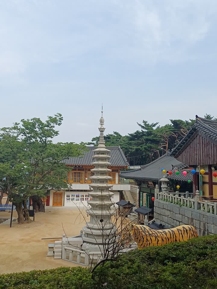
1. Hoamsan Mountain route
From Gwanaksan Park Entrance to Seoksu Station: 7.3 km past 9 stops.
- Walking time
- About 3 hr 30 min
- Distance
- 7.3 km
- Area
- Gwanak-gu · Geumcheon-gu
Official Seoul Trail information · from the start of the route to its end
Route order
On smaller screens, scroll sideways
- 1Gwanaksan Park Entrance
관악산공원 입구
Start - 2Gwanaksangyegok Valley Campground
관악산 계곡 캠핑숲
- 3The Tomb of Yun Gil
윤길묘
- 4Hoapsa Temple
호압사
- 5Hoamsan Mountain
호암산
- 6Hanumul Pond
한우물
- 7Hoamsan Falls
호암산 폭포
- 8Hoamsan Forest Park
호암산숲길공원
- 9Seoksu Station
석수역
Finish
Getting to the start
The official starting point is Gwanaksan Station (Sillim Line) Exit 1. Use the map on the official route page to find the way from the exit to the trail.
NAVER Map ↗Getting back
The route ends at Seoksu Station (Line 1) Exit 1 (official information). Route 13 (Anyangcheon Upstream) continues from this station.
Good to know
- Stamp boxes: the Gwanaksan Park entrance and Hoamsan Forest Park. They are outdoors and the ink can dry out, so bring your own ink pad (official advice).
- As a medium route it includes mountain paths. Wear shoes with good grip and carry water (KoreaClear advice).
- Hoamsan (393 m), “Tiger Rock Mountain”, is named for its shape, said to look like a tiger.
- Hoamsan Falls is a 75 m man-made waterfall built where a landslide hit in 2011, described as the largest waterfall in Seoul (official information).