1. Bukhansan Mountain (Gangbuk) route
From Hwagyesa Temple Entrance to Bukhansan Ui Station: 7.1 km past 7 stops.
- Walking time
- About 3 hr 30 min
- Distance
- 7.1 km
- Area
- Gangbuk-gu
Official Seoul Trail information · from the start of the route to its end
Route order
On smaller screens, scroll sideways
- 1Hwagyesa Temple Entrance
화계사 입구
Start - 2National Institute for Unification Education
국립통일교육원
- 3April 19th National Cemetery Observatory
국립4.19민주묘지전망대
- 4Solbat Neighborhood Park
솔밭근린공원
- 5Park Eul Bok Embroidery Museum
박을복자수박물관
- 6Ui-dong Meeting Plaza
우이동 만남의광장
- 7Bukhansan Ui Station
북한산우이역
Finish
Getting to the start
The official starting point is Hwagye Station (Ui-Sinseol Line) Exit 1. Use the map on the official route page to find the way from the exit to the trail.
NAVER Map ↗Getting back
The route ends at Bukhansan Ui Station (Ui-Sinseol Line) Exit 1·2 (official information). Route 21 (Bukhansan Mountain (Dobong)) continues from this station.
Good to know
- Stamp boxes: the Hwagyesa Temple entrance and the start of the Bukhansan Dulle-gil Royal Cemetery-gil. They are outdoors and the ink can dry out, so bring your own ink pad (official advice).
- As a medium route it includes mountain paths. Wear shoes with good grip and carry water (KoreaClear advice).
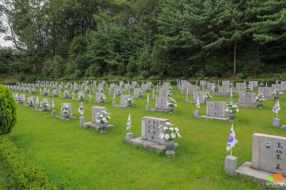
- The April 19th National Cemetery is the resting place of 224 people who died in the April Revolution of 1960 (official information).
- Solbat Park is a natural pine forest that residents saved when it was about to be cleared for apartments (official information).