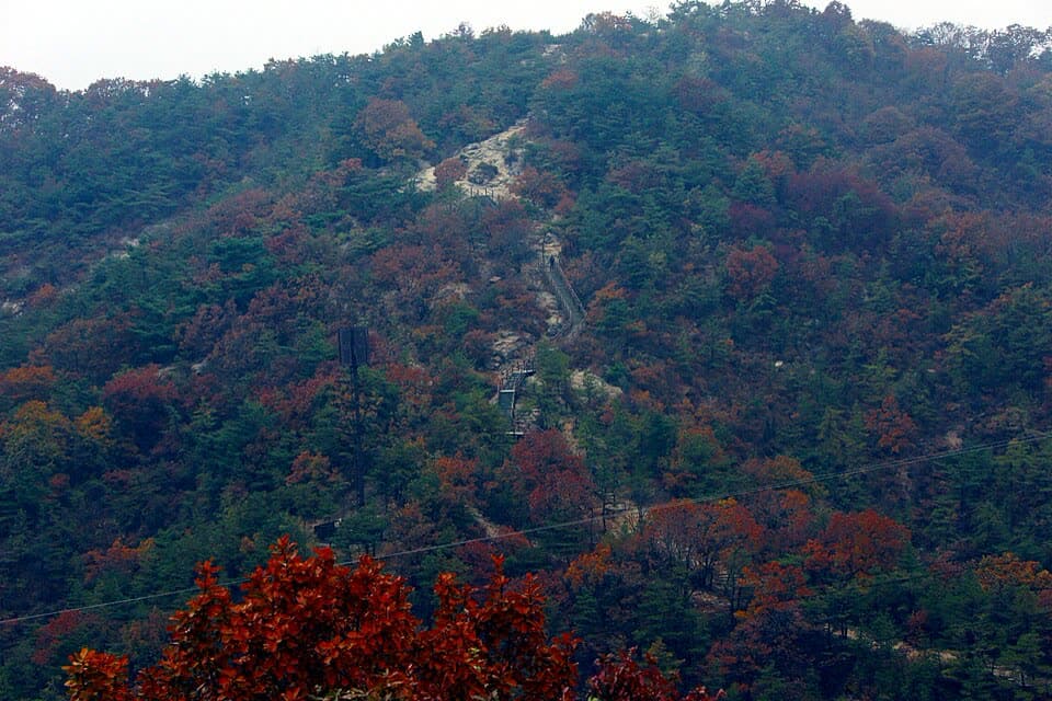
1. Mangusan & Yongmasan Mountains route
From Hwarangdae Station to Kkalttakgogae Pass Rest Area: 7.7 km past 6 stops.
- Walking time
- About 3 hr
- Distance
- 7.7 km
- Area
- Jungnang-gu
Official Seoul Trail information · from the start of the route to its end
Route order
On smaller screens, scroll sideways
- 1Hwarangdae Station
화랑대역
Start - 2Gongneung-dong Neighborhood Park Entrance
공릉동 근린공원 입구
- 3Sinnae Eoul Park Entrance
신내어울공원 입구
- 4Jungnang Camping Forest
중랑캠핑숲
- 5MANG-U History & Culture Park
망우 역사문화공원
- 6Kkalttakgogae Pass Rest Area
깔딱고개 쉼터
Finish
Getting to the start
The official starting point is Hwarangdae Station (Line 6) Exit 5. Use the map on the official route page to find the way from the exit to the trail.
NAVER Map ↗Getting back
The route ends at Kkalttakgogae Pass Rest Area. The official finishing station is Sagajeong Station (Line 7) Exit 4. Route 5 (Achasan Mountain) continues from this station.
Good to know
- Stamp boxes: Sinnae Eoul Park and the Kkalttakgogae Pass rest area. They are outdoors and the ink can dry out, so bring your own ink pad (official advice).
- MANG-U History & Culture Park (Mangu Cemetery Park) is the resting place of well-known Koreans such as Han Yong-un, Bang Jeong-hwan and Lee Jung-seop, with a 5.2 km walking path.
- The Yongmasan section is described as well kept, with some of the best views on the trail (official information).