1. Bukhansan Mountain (Jongno) route
From Bukhansan Eco Park to Hyeongjebong Peak Entrance: 7.4 km past 4 stops.
- Walking time
- About 4 hr
- Distance
- 7.4 km
- Area
- Eunpyeong-gu · Seodaemun-gu · Jongno-gu
Official Seoul Trail information · from the start of the route to its end
Route order
On smaller screens, scroll sideways
- 1Bukhansan Eco Park
북한산생태공원
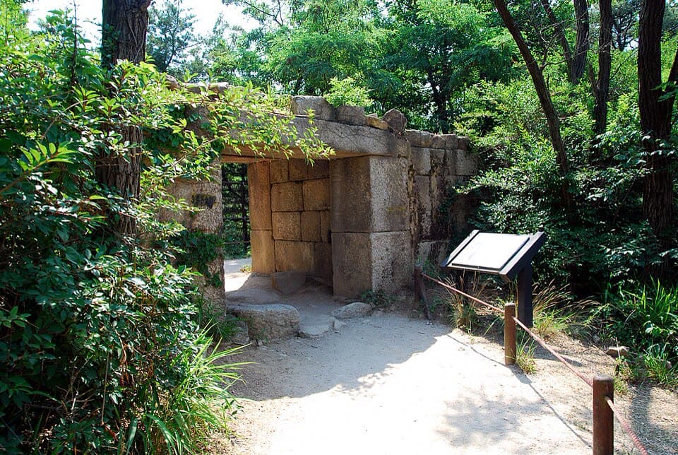
Start - 2Tangchundaeseong Fortress Hidden Gate
탕춘대성 암문
- 3Pyeongchang-dong Village Streets
평창동 마을길
- 4Hyeongjebong Peak Entrance
형제봉 입구
Finish
Getting to the start
The official starting point is Bulgwang Station (Line 3 & Line 6) Exit 2. Use the map on the official route page to find the way from the exit to the trail.
NAVER Map ↗Getting back
From the end of the route (Hyeongjebong Peak Entrance), take a bus to Gireum Station (Line 4) (official information). Check the bus route on the official route page or a map app. The next route also starts here.
Good to know
- Stamp boxes: Bukhansan Eco Park and the Hyeongjebong Peak entrance. They are outdoors and the ink can dry out, so bring your own ink pad (official advice).
- As a medium route it includes mountain paths. Wear shoes with good grip and carry water (KoreaClear advice).
- The route passes Bukhansan Dulle-gil Section 7 (Yetseong-gil) and Section 6 (Pyeongchang Maeul-gil) (official information).
- The hidden gate of Tangchundaeseong is a small gate in the wall built in the Joseon era to link the capital with Bukhansanseong Fortress.
- At about 4 hours, this is the longest of the medium routes. There is no subway station at the end, so you need a bus.