1. Godeoksan Mountain route
From Gwangnaru Station to Myeongil Neighborhood Park: 9.3 km past 7 stops.
- Walking time
- About 3 hr
- Distance
- 9.3 km
- Area
- Gangdong-gu
Official Seoul Trail information · from the start of the route to its end
Route order
On smaller screens, scroll sideways
- 1Gwangnaru Station
광나루역
Start - 2Gwangjingyo Bridge
광진교
- 3Amsa Eco Park
암사둔치 생태공원
- 4Archaeological Site in Amsa-dong
암사동 선사유적지
- 5Godeoksan Mountain
고덕산
- 6Saemteo Neighborhood Park
샘터근린공원
- 7Myeongil Neighborhood Park
명일근린공원
Finish
Getting to the start
The official starting point is Gwangnaru Station (Line 5) Exit 2. Use the map on the official route page to find the way from the exit to the trail.
NAVER Map ↗Getting back
The route ends at Myeongil Neighborhood Park. The official finishing station is Godeok Station (Line 5) Exit 4. Route 7 (Iljasan Mountain) continues from this station.
Good to know
- Stamp boxes: the north end of Gwangjingyo Bridge and the Myeongil Neighborhood Park entrance. They are outdoors and the ink can dry out, so bring your own ink pad (official advice).
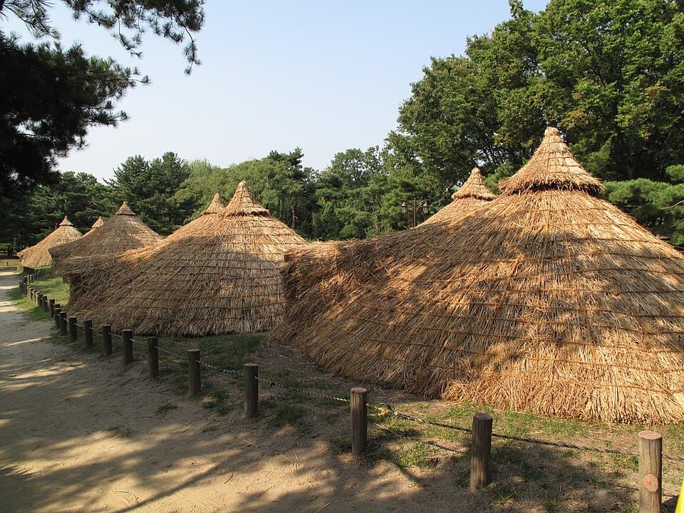
- The Amsa-dong site is where people lived in the Neolithic period. You can see reconstructed pit houses.
- The Godeoksan Jarak-gil is a step-free forest path of dirt and wooden decks (official information).