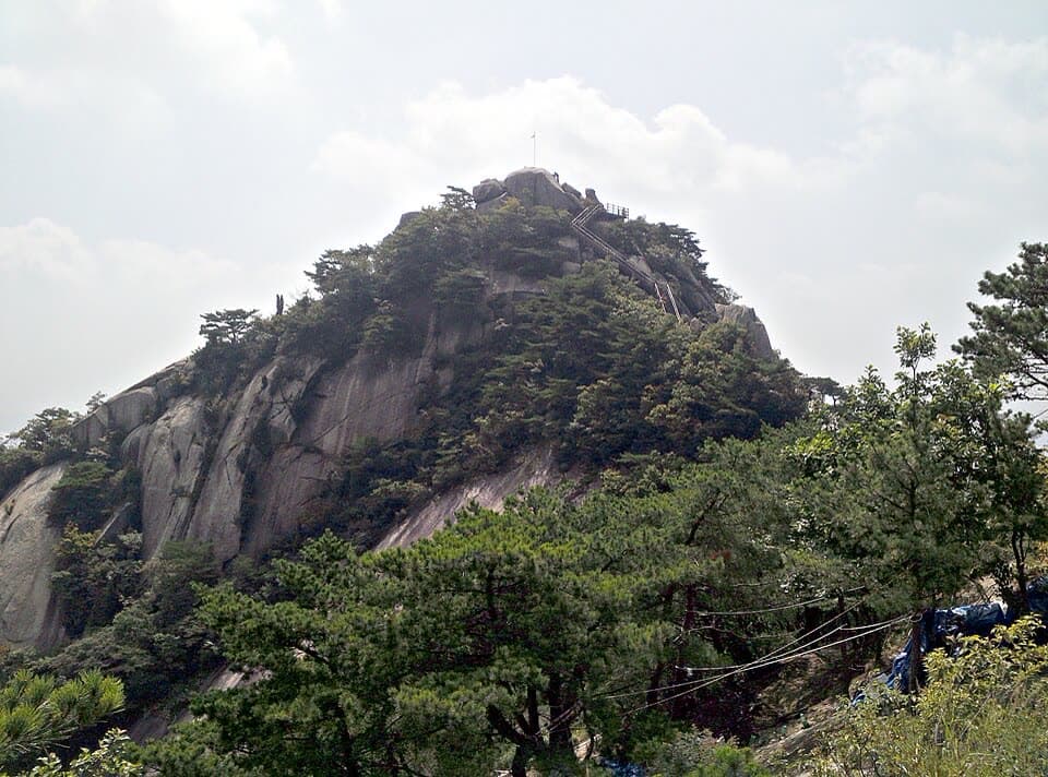
1. Buramsan Mountain route
From Royal Azalea Park, Sanggye-dong to Hwarangdae Station: 6.9 km past 8 stops.
- Walking time
- About 2 hr 30 min
- Distance
- 6.9 km
- Area
- Nowon-gu
Official Seoul Trail information · from the start of the route to its end
Route order
On smaller screens, scroll sideways
- 1Royal Azalea Park, Sanggye-dong
상계동 나들이 철쭉동산
Start - 2Big Yard
넓은 마당
- 3Buramsan Healing Town
불암산 힐링타운
- 4Buramsan Observatory
불암산 전망대
- 5Wide Flat Rock
넓적바위
- 6Buramsan Fork
불암산 갈림길
- 7Gongneungsan Baeksemun Gate
공릉산백세문
- 8Hwarangdae Station
화랑대역
Finish
Getting to the start
The official starting point is Buramsan Station (Line 4) Exit 1. Use the map on the official route page to find the way from the exit to the trail.
NAVER Map ↗Getting back
The route ends at Hwarangdae Station (Line 6) Exit 4 (official information). Route 4 (Mangusan & Yongmasan Mountains) continues from this station.
Good to know
- Stamp boxes: the Royal Azalea Park in Sanggye-dong and Hwarangdae Station. They are outdoors and the ink can dry out, so bring your own ink pad (official advice).
- As a medium route it includes mountain paths. Wear shoes with good grip and carry water (KoreaClear advice).
- Buramsan (佛巖山, “Buddha Rock Mountain”) is named for the summit rock, said to look like the Buddha.
- The Buramsan azalea garden has 100,000 azaleas that turn the slope deep pink every April (official information).
- Near Hwarangdae Station, where the route ends, the old Hwarangdae Station has become the Hwarangdae Railway Park, at the end of the Gyeongchun Line Forest Trail.